A 48-hour forecast is great for planning the week. But the moment a crew is standing on a site at 1 p.m., the only question that matters is what the sky does between now and 4. That’s a different tool: nowcasting.
Forecasts plan the day, nowcasts run it
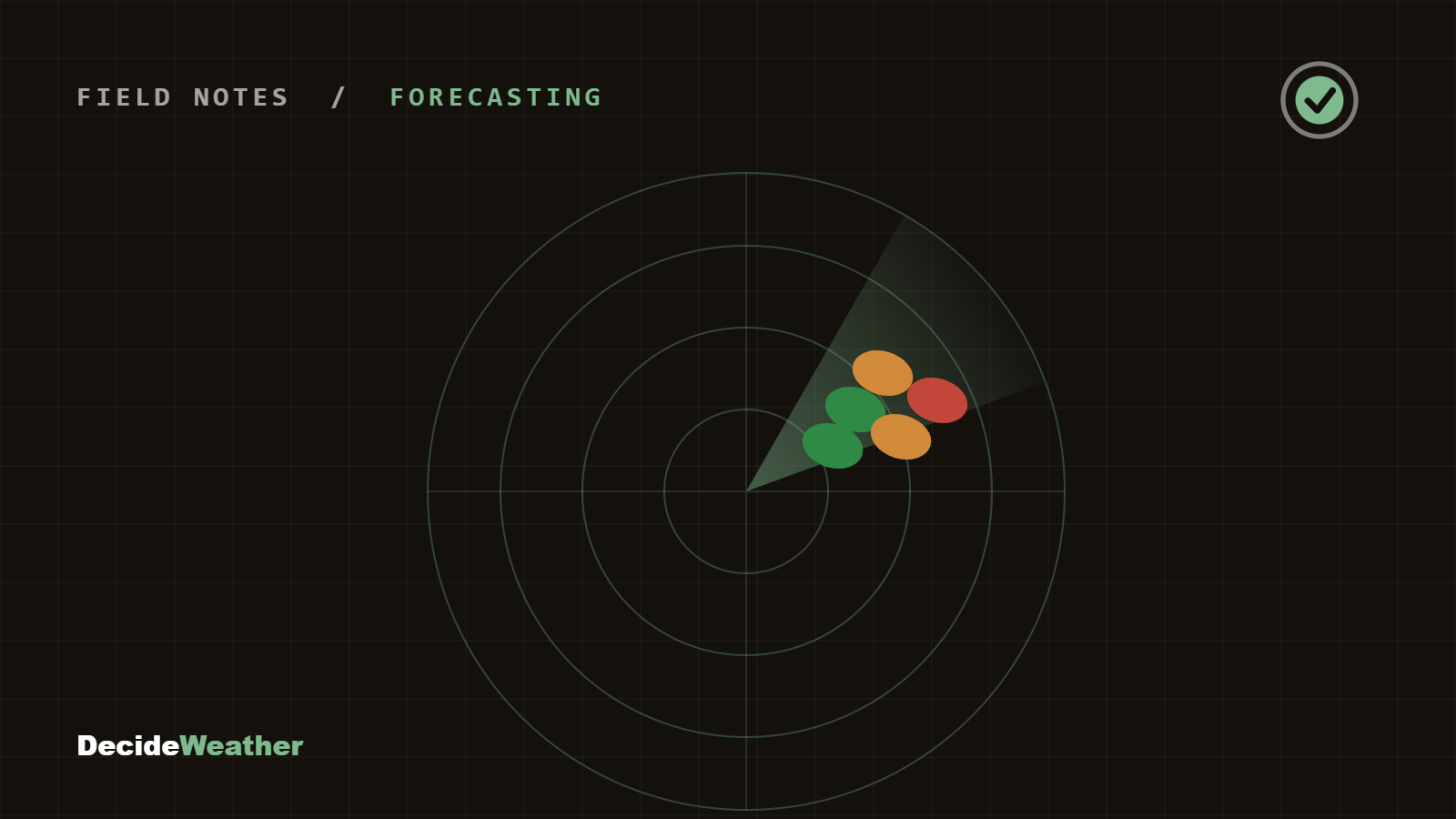
Traditional models update a few times a day and reason in hours. Nowcasting blends live radar, satellite, and surface observations to project the next 0–3 hours at much finer resolution. It’s how you catch the pop-up cell that a morning forecast smoothed over — the one that closes a window an hour early.
What we watch in the short fuse
- Radar trends, not snapshots — is a cell building or falling apart as it approaches?
- Storm motion and timing — when does the leading edge actually reach your site, not the metro
- Recent surface obs — wind shifts and dew point changes that signal a turn
- Clearing behind the line — when the window reopens
Why it matters for the call
A same-day decision is only as good as its most recent data. The closer to “now” the inputs are, the tighter the timing on a window’s open and close. In DecideWeather, the next few hours feed a Go / Caution / Stop recommendation that updates as conditions move — so you can make the call with the freshest picture, right before you dispatch.